

We operate as a complete Urban Development Group, bringing every stage of the development process together to deliver seamless project outcomes.
Surveying & Geospatial
Our integrated surveying capability works seamlessly with our civil engineering and water service coordination teams to deliver faster responses, streamlined processes and lower overall project costs for our clients.
This integrated surveying service underpins every project with accurate, accessible data from the outset - enabling faster turnaround, fewer process delays and lower overall project costs.
Market Pressures & Risk Factors

Projects face coordination and delivery challenges when specialist consultancy services are separated.

Land development operates within a complex network of entrepreneurs, financiers, consultants, builders, agents and government authorities – creating coordination risk across every stage.
Fragmented consultant teams create gaps in scope, delays in communication and added time and cost to projects.
Subdivision and commercial works require tightly managed design, compliance and sign-off across multiple disciplines.
Developers face programme and cost pressure when integration between survey, engineering and approval pathways is not aligned from the outset.
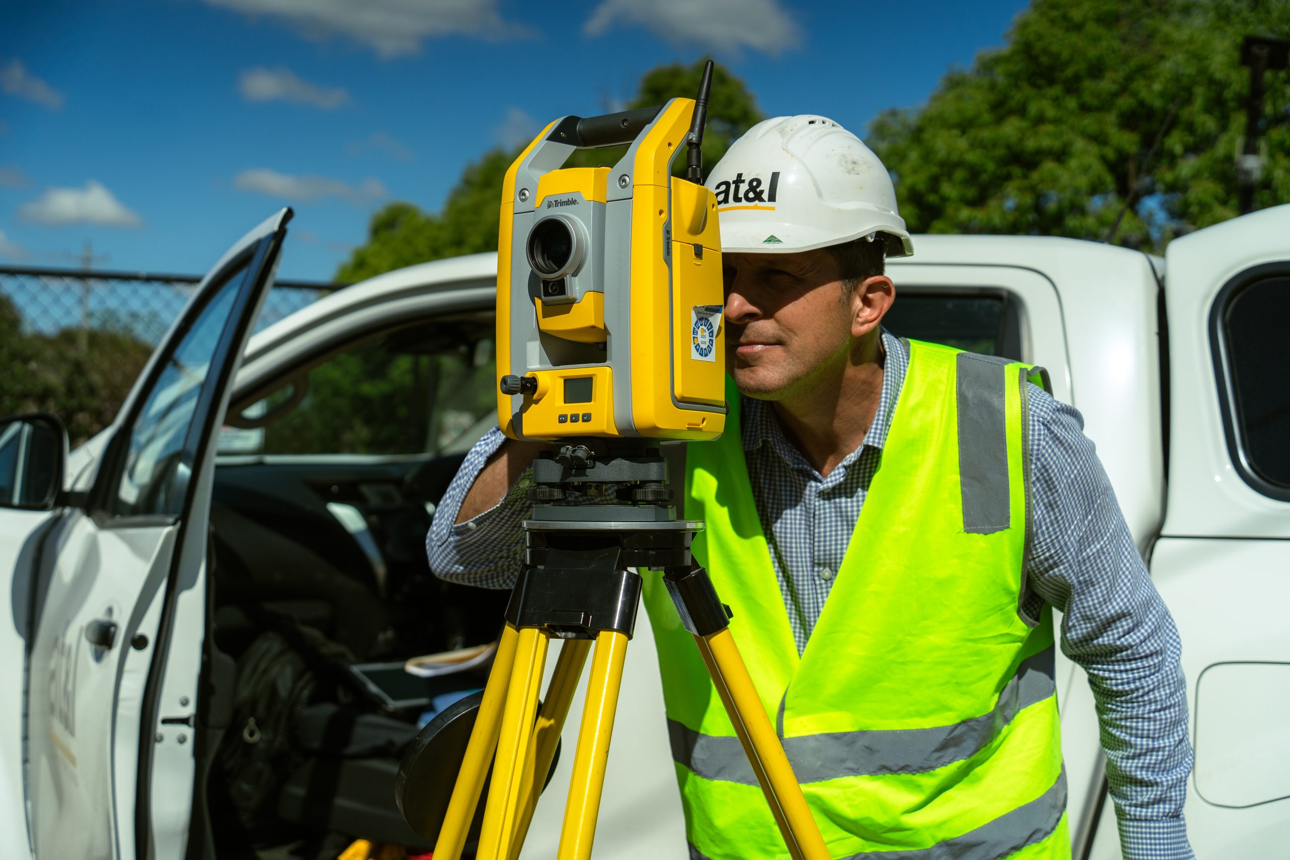
Surveying & Geospatial Capabilities
Our end-to-end solution combines expert Surveying, streamlined Titling, and proactive Project Management, guiding you through every stage of development, from site acquisition right through to the smooth registration of titles.
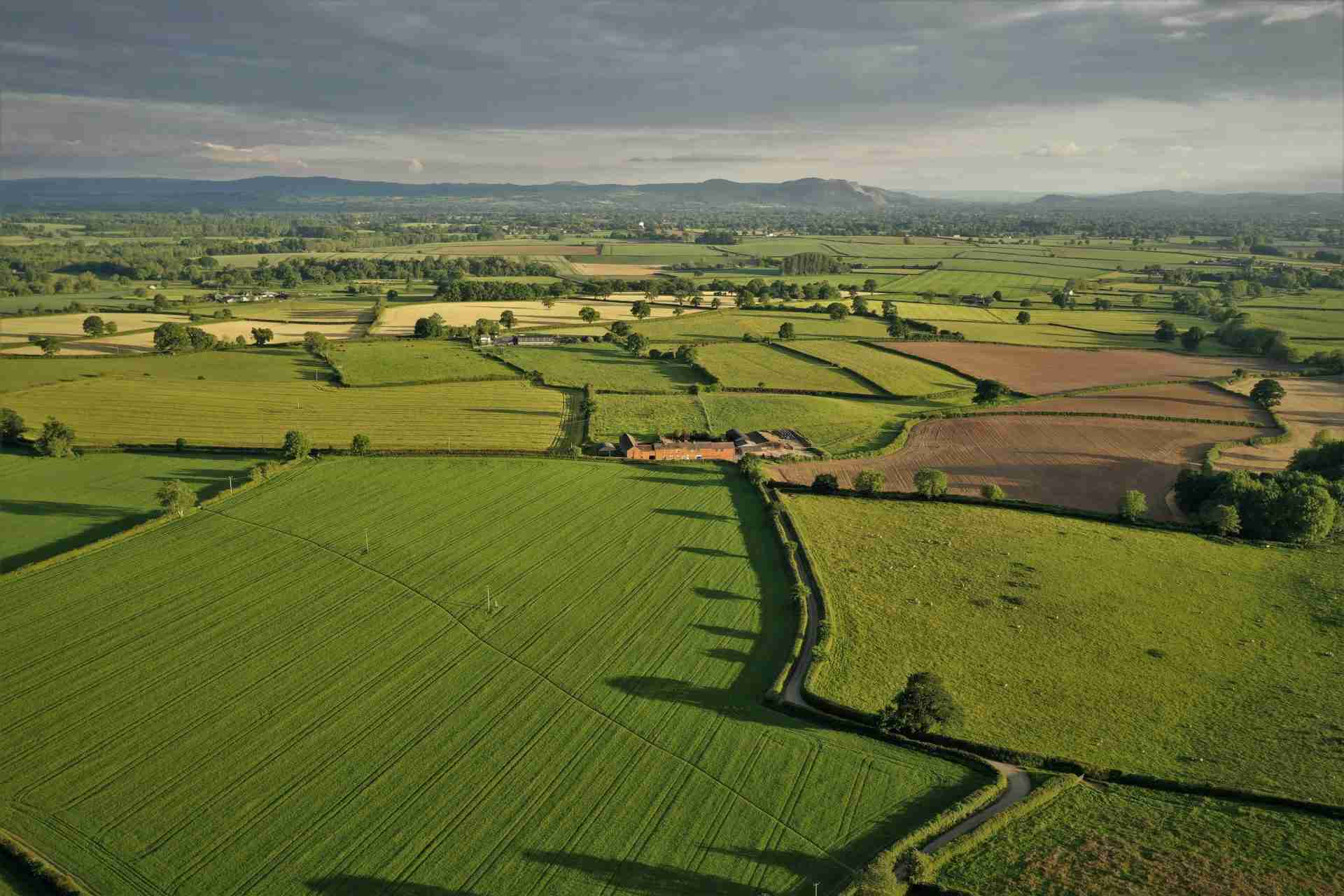

Detail & Level Surveys
Accurate capture of site features, levels and infrastructure to inform design, approvals and flood assessments.
Underground Utility & Infrastructure Surveys
Locate and map underground services, integrating utility data with site surveys to support safer planning and design.
3D Laser Scanning
High-accuracy 3D data capture using LiDAR, terrestrial and drone technology, delivering BIM-ready outputs for design and modelling.
Bathymetric Surveys
Survey and model submerged terrain across rivers, dams and coastal areas using accurate underwater data capture.
Land Development, Subdivision & Strata – LRS Cadastral Surveys
Title searches and boundary investigations, with preparation of subdivision and strata plans to support compliant registration and approvals.
Work as Executed (WAE) Surveys
Verify constructed infrastructure, providing plans and compliance reports to support authority and certifier approval.
POSI Surveys
Protect critical survey marks, maintain compliance with approvals and support requirements across the project lifecycle.
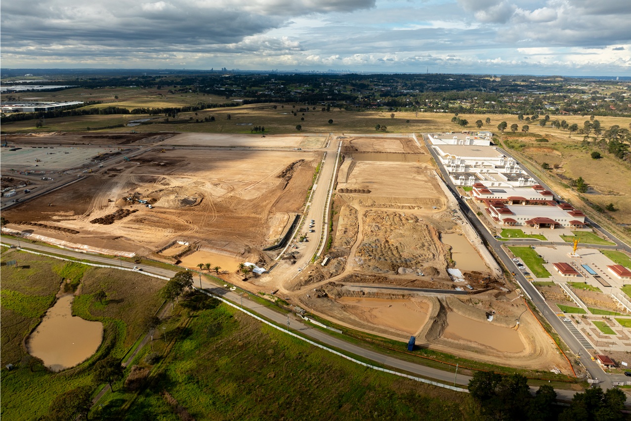
Integrated Delivery Model
Unified Fee Proposal
A single, coordinated proposal covering Civil, WSC, Survey, Structural & Project Management services – aligned from the outset to remove scope gaps and duplication.
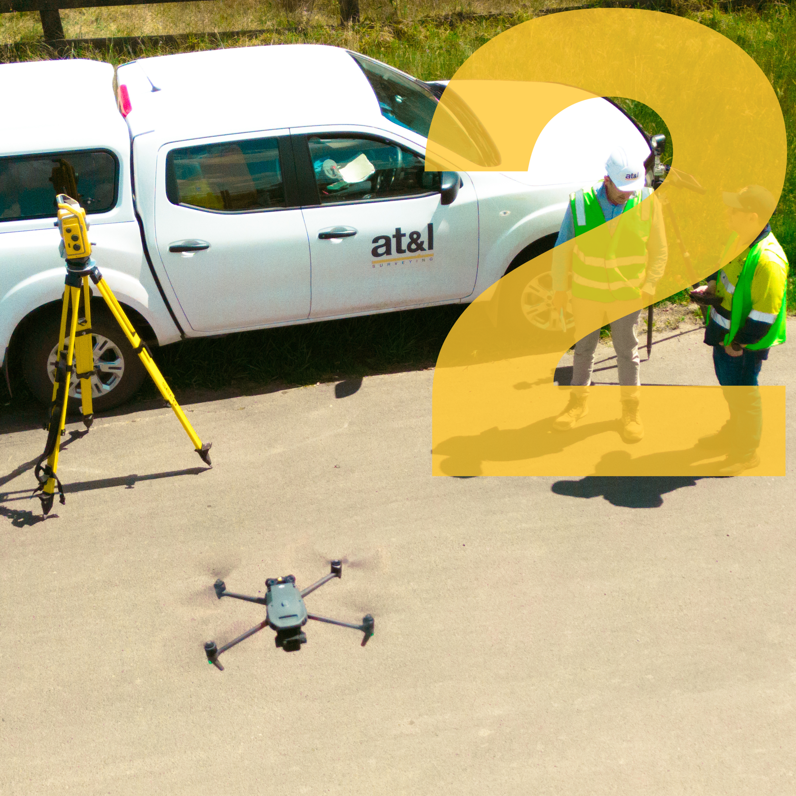
Fit-for-Purpose Data Foundation
Early coordination ensures accurate, relevant data is captured once and shared across disciplines – saving time and reducing redesign costs.
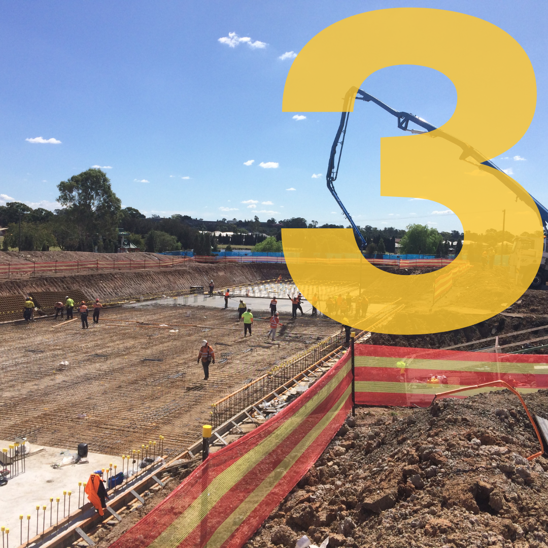
Prioritised Workflow Planning
Clear staging and sequencing of tasks to manage client expectations and maintain programme momentum.
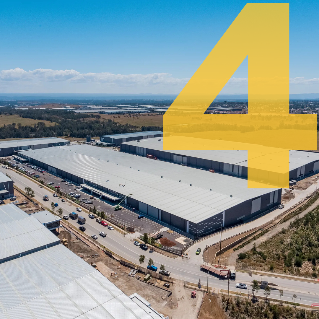
Delivery Alignment
All disciplines aligned on scope, timelines, dependencies and responsibilities before work begins – ensuring no gaps, overlaps or rework.
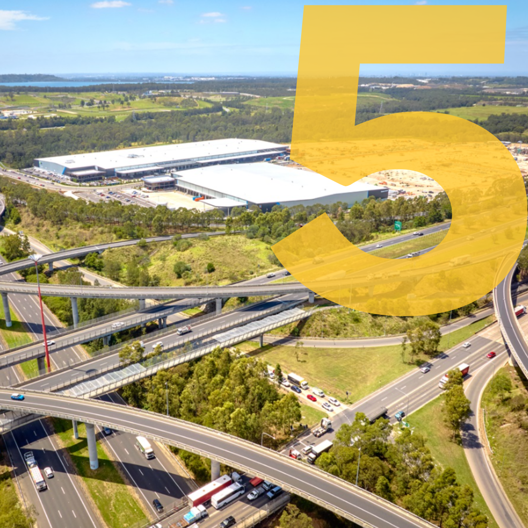
Managed Team Approach
One integrated team working collaboratively across disciplines, with defined accountability and communication pathways.
Controlled Delivery Outcomes
Active oversight across all workstreams to ensure quality, cost and programme targets are consistently achieved.
The AT&L Difference
Fast Response Times
A responsive team that acts quickly to keep projects moving.
Depth of Professional Experience
Senior specialists across surveying, civil & structural engineering, design, WSC and project management.
Advanced Technology
Modern digital tools that improve accuracy, speed, and project outcomes.
National Team, Flexible Resourcing
Four offices across the Eastern Seaboard allow workloads to be balanced and projects to stay on track.
Direct Client Engagement
Face-to-face collaboration that builds strong relationships and clear communication.
Proven Delivery
We have delivered 1400+ civil infrastructure projects with integrated surveying components over the past 17+ years. Our capability is demonstrated through repeat engagement from contractors and developers who value coordinated project delivery.
Designed to Innovate
Designed to Innovate
Designed to Innovate
Engineered to deliver
Engineered to deliver
Engineered to deliver

